|
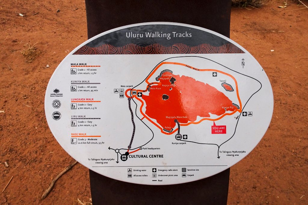 |
| 10-A walk around Uluru | |
| Latitude: S 25°21'5,46" | Longitude: E 131°2'24,92" | Altitude: 539 metres | Location: Ayers Rock | City: Yulara | State/Province: Northern Territory | Country: Australia | See map | |
| Total images: 19 | Help | |
|
|
|
| 10-A walk around Uluru | |
| Latitude: S 25°21'5,46" | Longitude: E 131°2'24,92" | Altitude: 539 metres | Location: Ayers Rock | City: Yulara | State/Province: Northern Territory | Country: Australia | See map | |
| Total images: 19 | Help | |